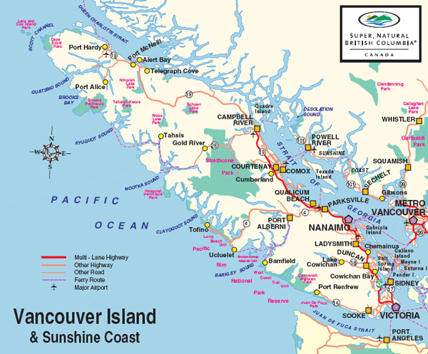
The island is
460 kilometers (290 mi) in length and 80 kilometers (50 mi) in width at its
widest point. It is the largest island on the western side of North America
at 32,134 km2 (12,407.0 sq mi) and the world's 43rd largest island, Canada's
11th largest island and Canada's second most populous island after the
Island of Montreal, which has 1.3 million more people.
British
Columbia statistics on July 1st 2016 estimated the population at 1,098,352.
Nearly third of these (331,491) live in Greater Victoria.
Vancouver
Island - Victoria & the Gulf Islands boast the mildest climate in Canada.
Summertime is reliably warm and sunny, with frequent ocean breezes.
Temperatures reach average highs in the high 20 s Celsius (75 to 90
Fahrenheit) but evenings can be cool. In winter the Vancouver Island region
is the most temperate of all British Columbia, with temperatures just below
0 Celsius (32 Fahrenheit) to 10 Celsius (50 Fahrenheit)